
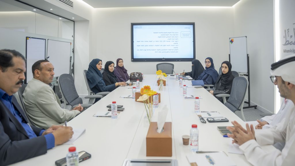
The Municipality and Planning Department – Ajman received a delegation from Umm Al Quwain Municipality Department on a benchmarking visit aimed at reviewing best practices applied in the field of Geographic Information Systems (GIS) and geospatial services, as well as enhancing the exchange of expertise between the two parties, contributing to institutional integration, the development of the work environment, and the achievement of sustainable development goals.
At the beginning of the meeting, Aysha Altunaiji, GIS Director at the Department, welcomed the visiting delegation, headed by Afra Ali Affan, GIS Director at Umm Al Quwain Municipality, in the presence of a number of specialists and technical staff from both sides. She emphasized that the Department continuously works to strengthen mutual coordination channels and share best practices that enrich work and achieve the desired objectives.
Altunaiji explained that the Department operates in alignment with the Ajman 2030 vision to create a civilized environment that enhances the emirate’s attractiveness and quality of life, and in line with the strategic objective of achieving comprehensive urban management. She also reviewed the working mechanisms adopted in the GIS Department, its divisions, and their functions, which include the Spatial Data Management and Development Section, the Addressing and Numbering Section, and the Technical Support and Map Production Section.
She added that the GIS Department continuously works on developing and updating geospatial databases according to the highest standards, contributing to the provision of accurate and reliable data that supports various sectors and departments, and enhances the efficiency of planning and the management of future projects and services.
The meeting also included an overview of the smart geospatial projects and systems implemented by the Department, and their role in supporting decision-making and providing accurate spatial data that contributes to enhancing urban planning efficiency, as well as the sustainability of infrastructure and services provided to the emirate’s residents.
The discussion also highlighted the Department’s key operations, including updating spatial data, developing GIS systems, updating addressing and numbering data and street naming, updating digital maps, and providing proactive mapping services, in addition to handling spatial data requests, addressing and numbering requests, issuing identification names, and issuing digital maps.
She further noted that specialized visits and meetings serve as an important platform for exchanging expertise and successful experiences, and for reviewing best practices implemented in government entities.
In conclusion of the visit, the visiting delegation commended the Department’s efforts in developing the GIS ecosystem and its provision of qualitative services and initiatives that contribute to supporting sustainable urban development. They also praised the level of integration and technological advancement witnessed by the Department, as well as its commitment to adopting innovative solutions that enhance the quality of municipal services.